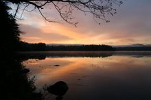
Among the many sites are interesting, undermined tree roots.
The cardinal flowers are in bloom
and there was LOTS of pickerel weed.
We decided to see how close we could get to Follensby Pond, at the bottom of the map, which has been acquired by the Nature Conservancy but is not yet open to the public. As can be seen on the map, the area is quite overgrown so we paddled a very serpentine track for over a mile to get to the dam that marks the beginning of the lake.


No comments:
Post a Comment